Coastal Hazards and Management
The Bluecoast team undertook a Coastal Vulnerability Assessment (CVA) for the Cocos (Keeling) Islands (CKI). This year-long, multi-faceted project saw the team working on the following key stages:
Collation, analysis, and summary of relevant historic metocean data, survey data, and any other previous studies and data critical for appropriate model validation and effective data analysis.
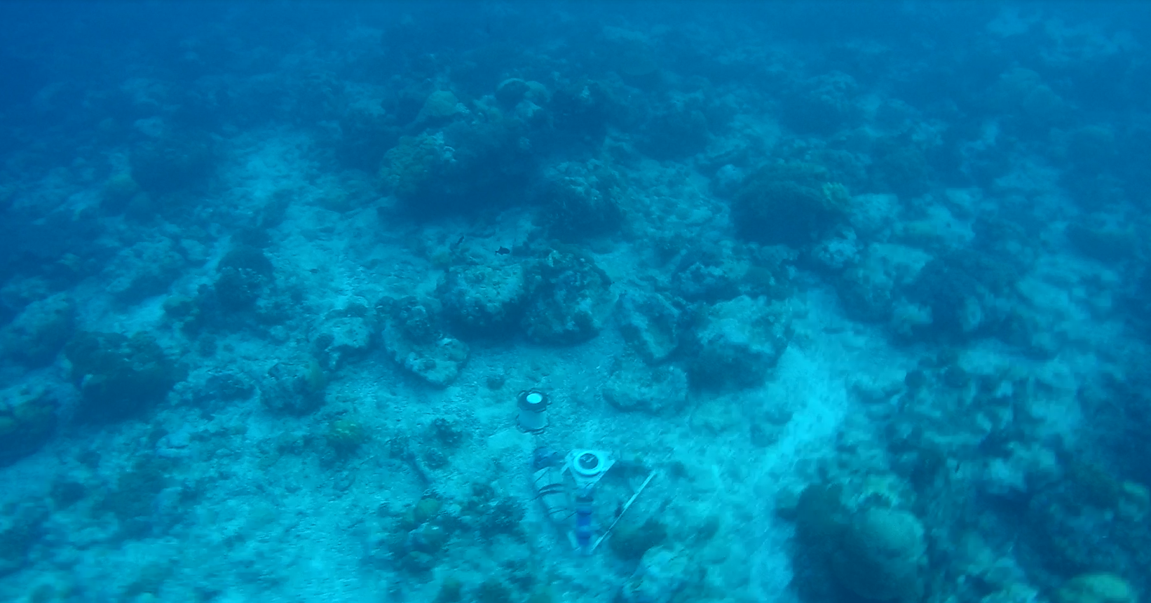
A data collection program at CKI that gathers and analyses metocean and survey data.
Construction of a digital coastal asset data base utilising existing GIS information as well as site inspections.
Identify, assess, and model relevant coastal processes and hazards at CKI building on the data collection, survey and monitoring for ambient conditions and over a range of environmental scenarios.
Identify, assess, and map areas subject to inundation and/or erosion by coastal processes described over various scenarios.
Identify, assess, and map the exposure, sensitivity, and adaptive capacity of key built, natural and community assets to coastal hazards.
In addition, stakeholder and community engagement was undertaken by our engineers to inform the assessment and confirm our approach including a review of current coastal management practices by Council. The Bluecoast team uitilised the numerical modelling tools for the CVA in order to map coastal hazards and asset (natural and built) vulnerability to provide the basis for the development of adaptation options.