Kiribati Coastal Protection

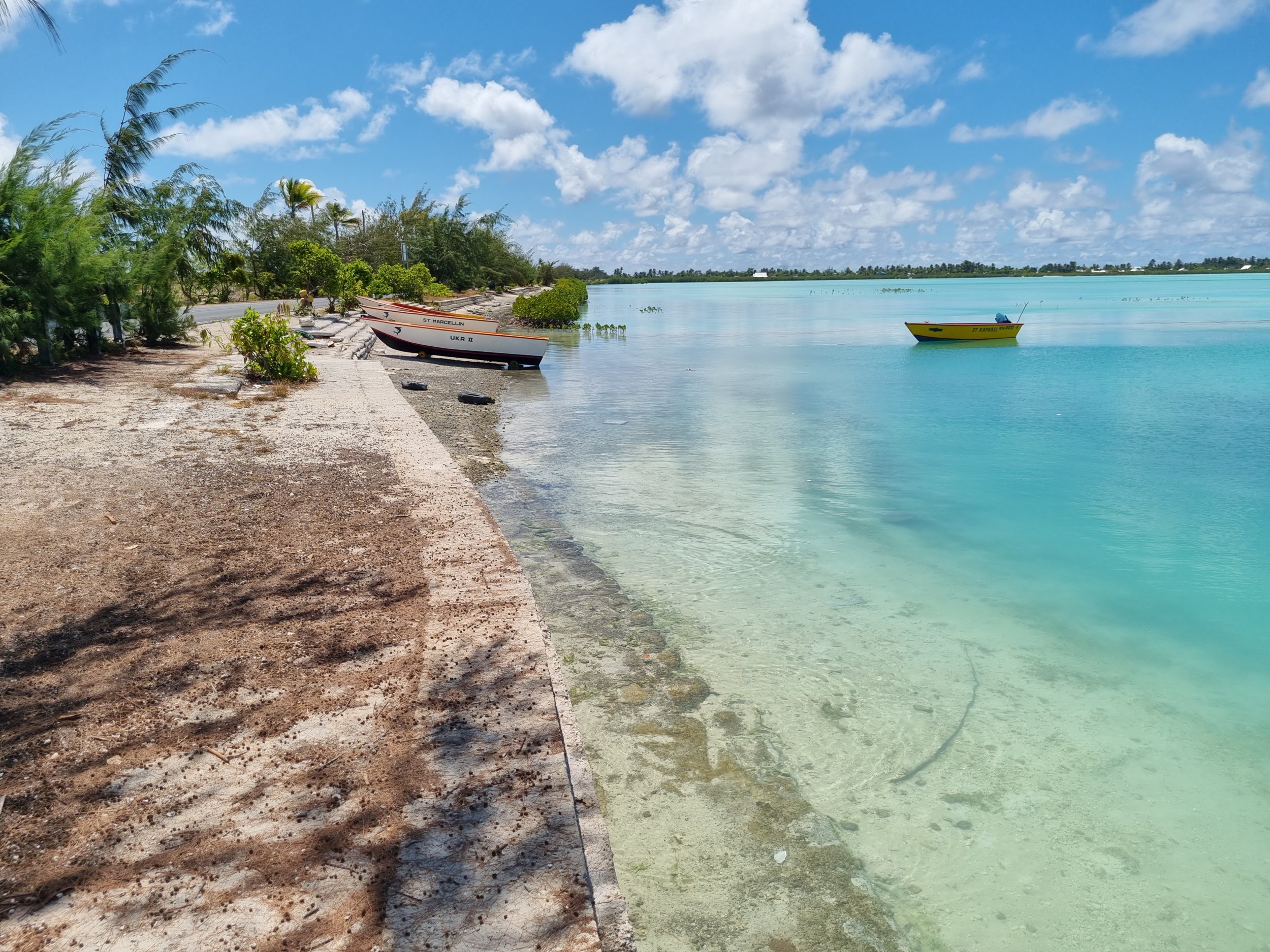
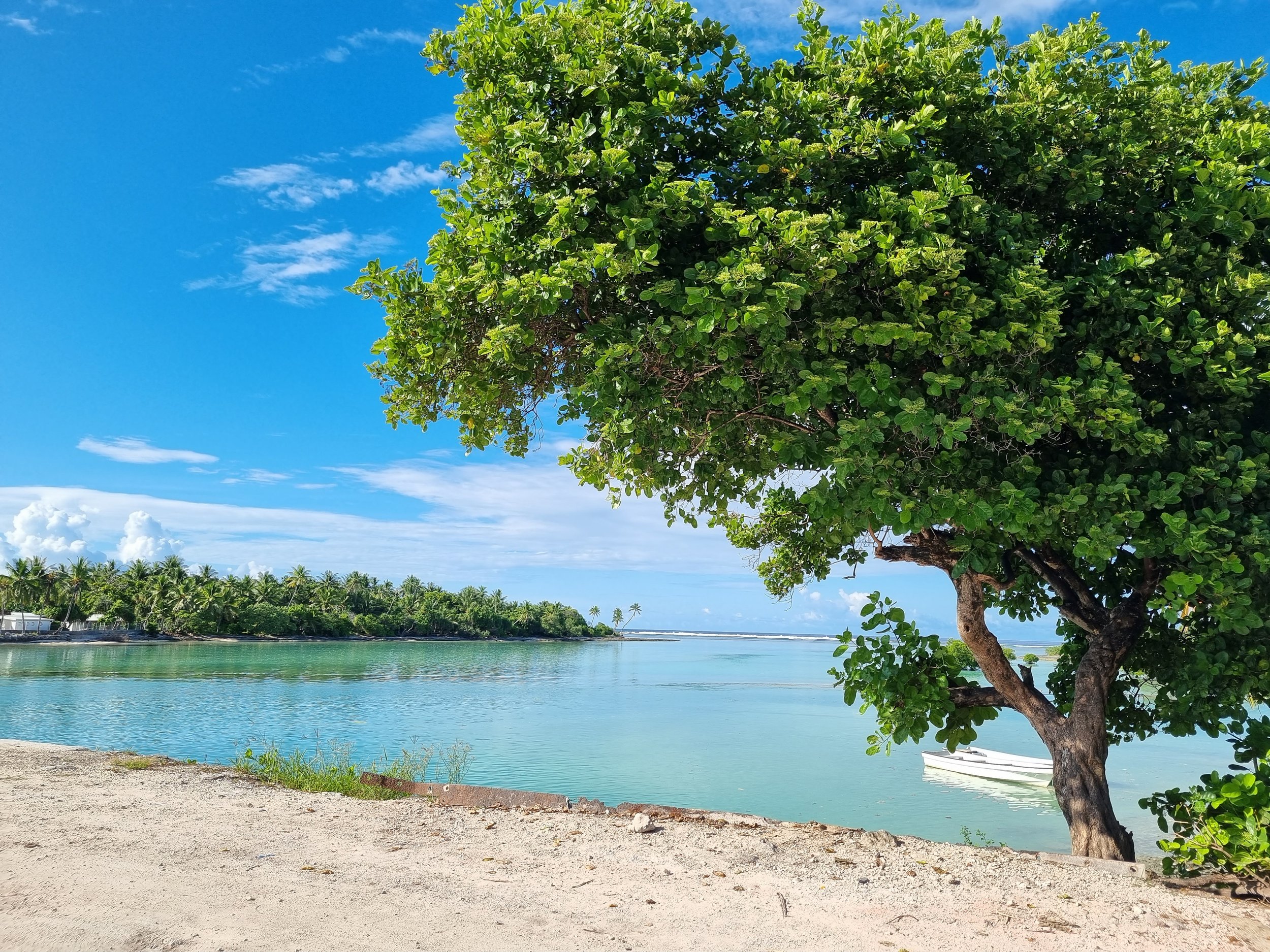
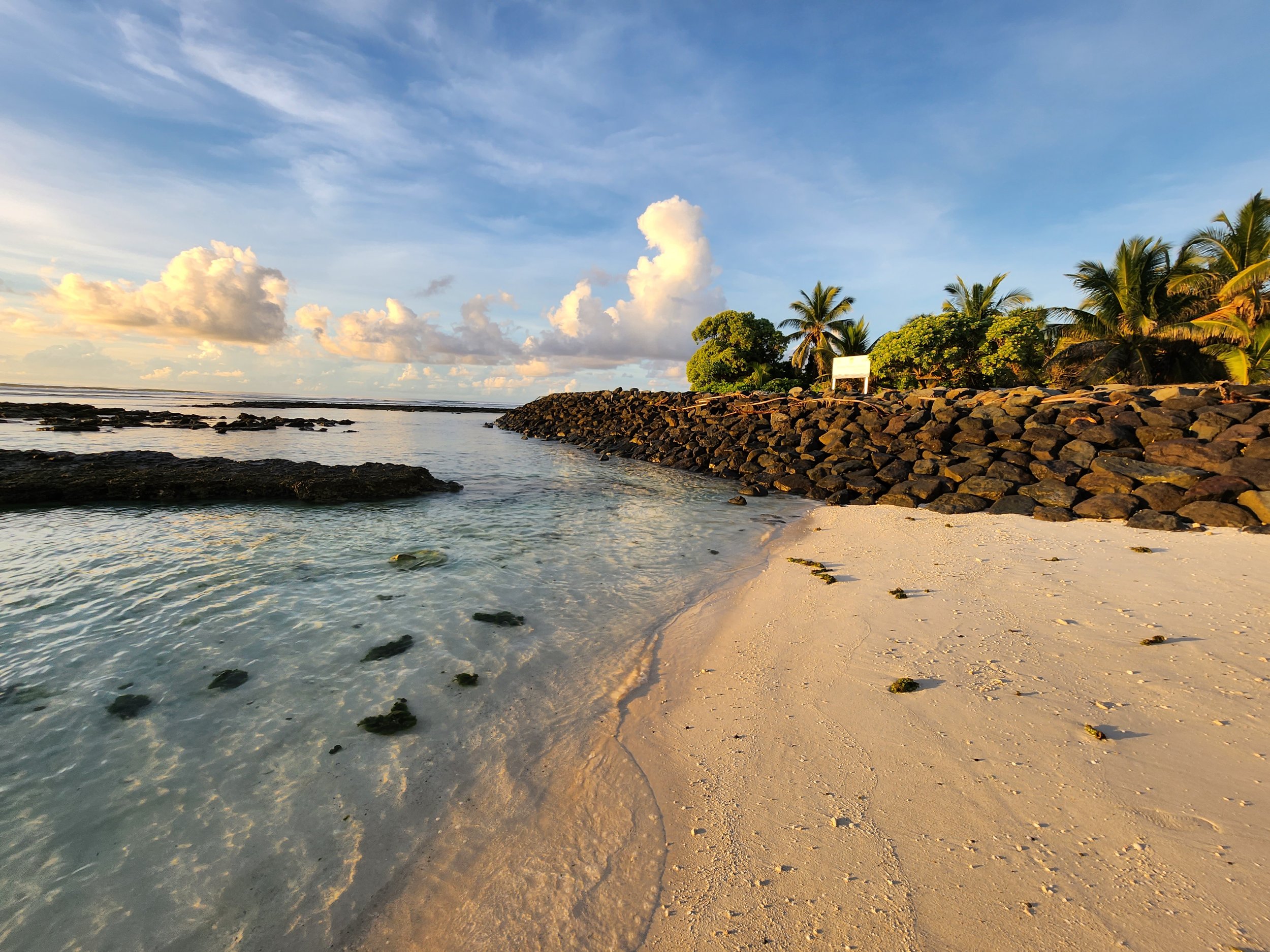
Kiribati is internationally recognised as one of the world’s most vulnerable countries to the impacts of climate change. To build resilience to climate change and disaster events Bluecoast’s Evan Watterson and our colleague James Lewis have been engaged by the United Nations Office for Project Services (UNOPS) to assist DFAT and the Government of Kiribati develop a coastal protection program in Kiribati.

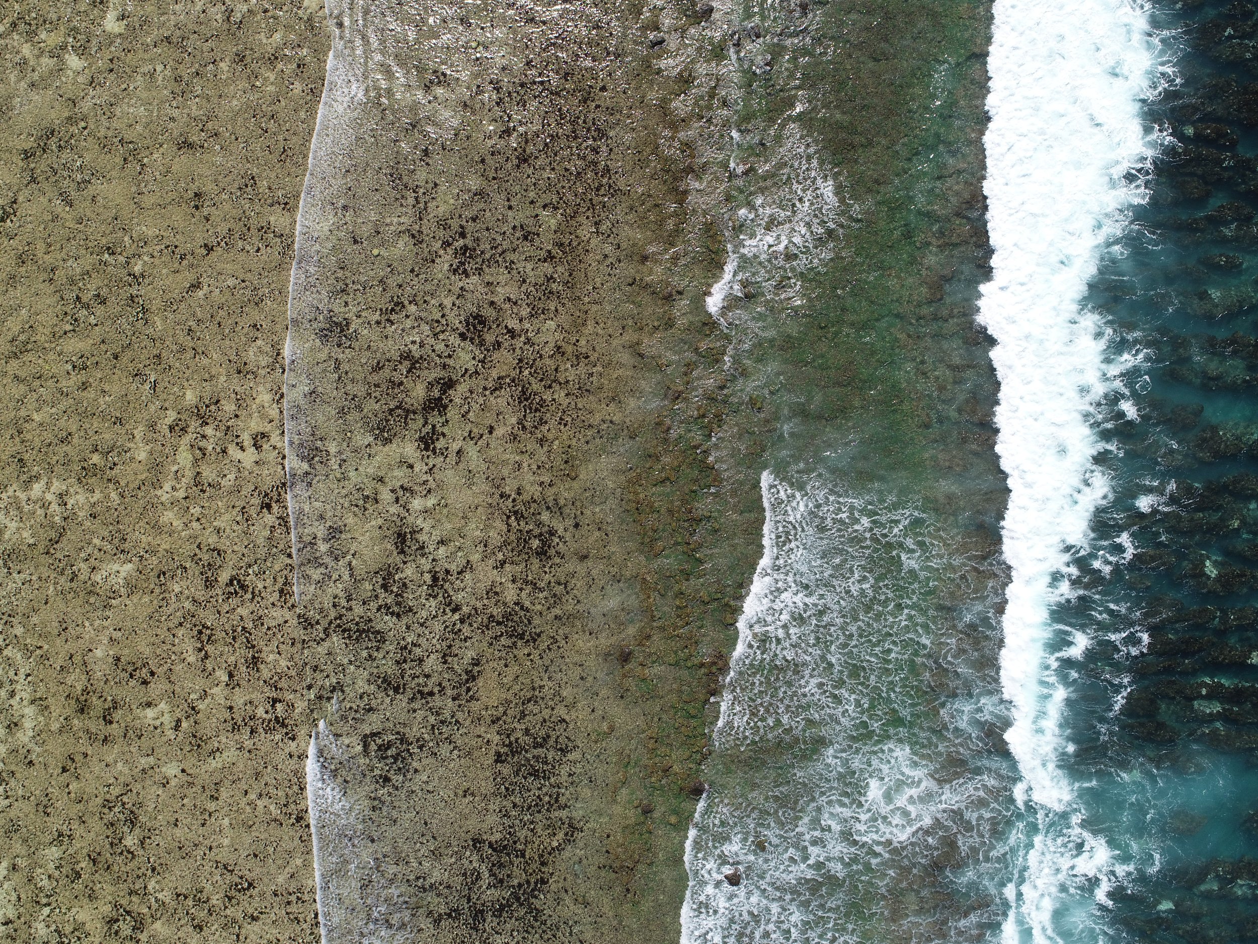
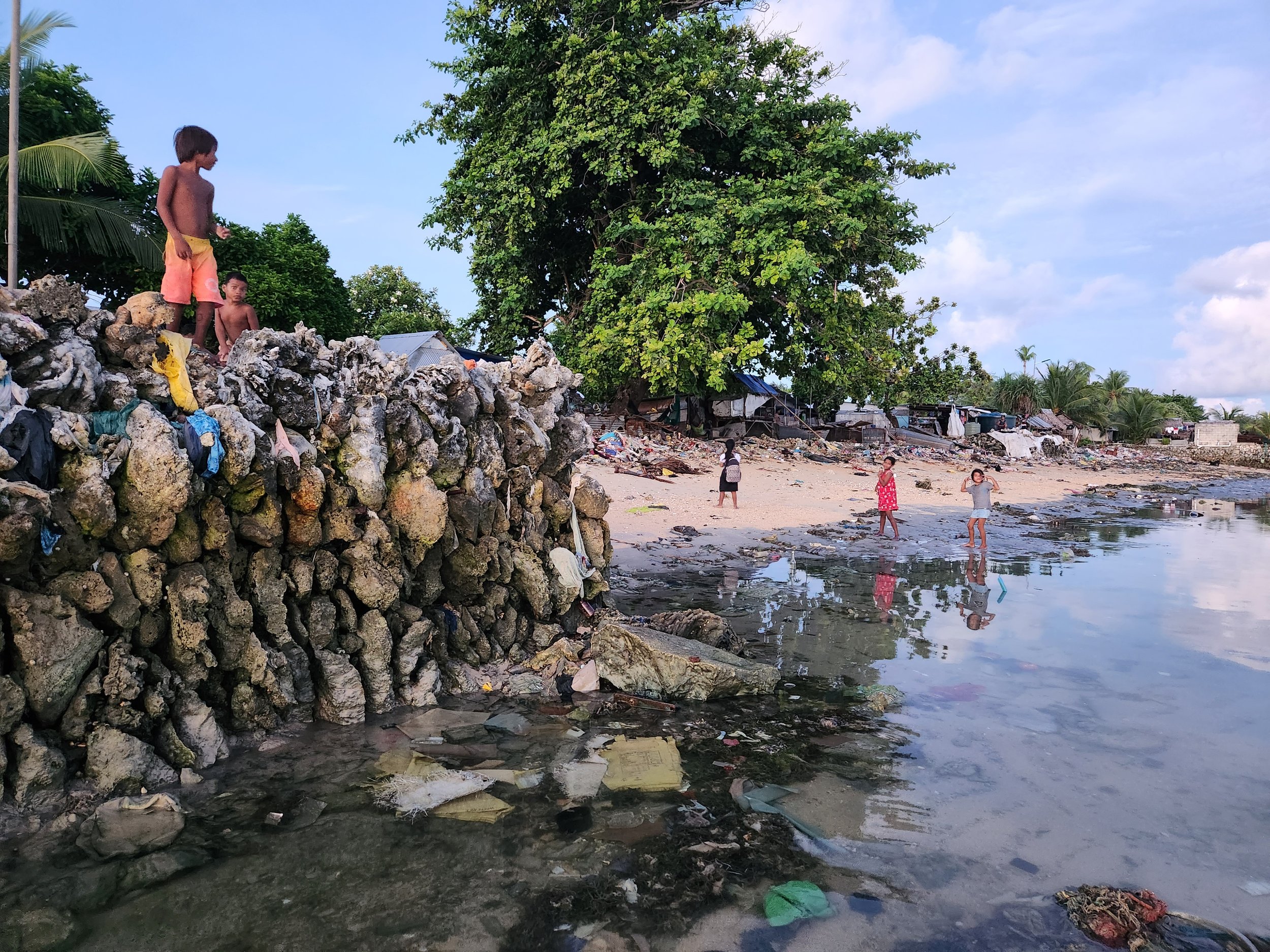
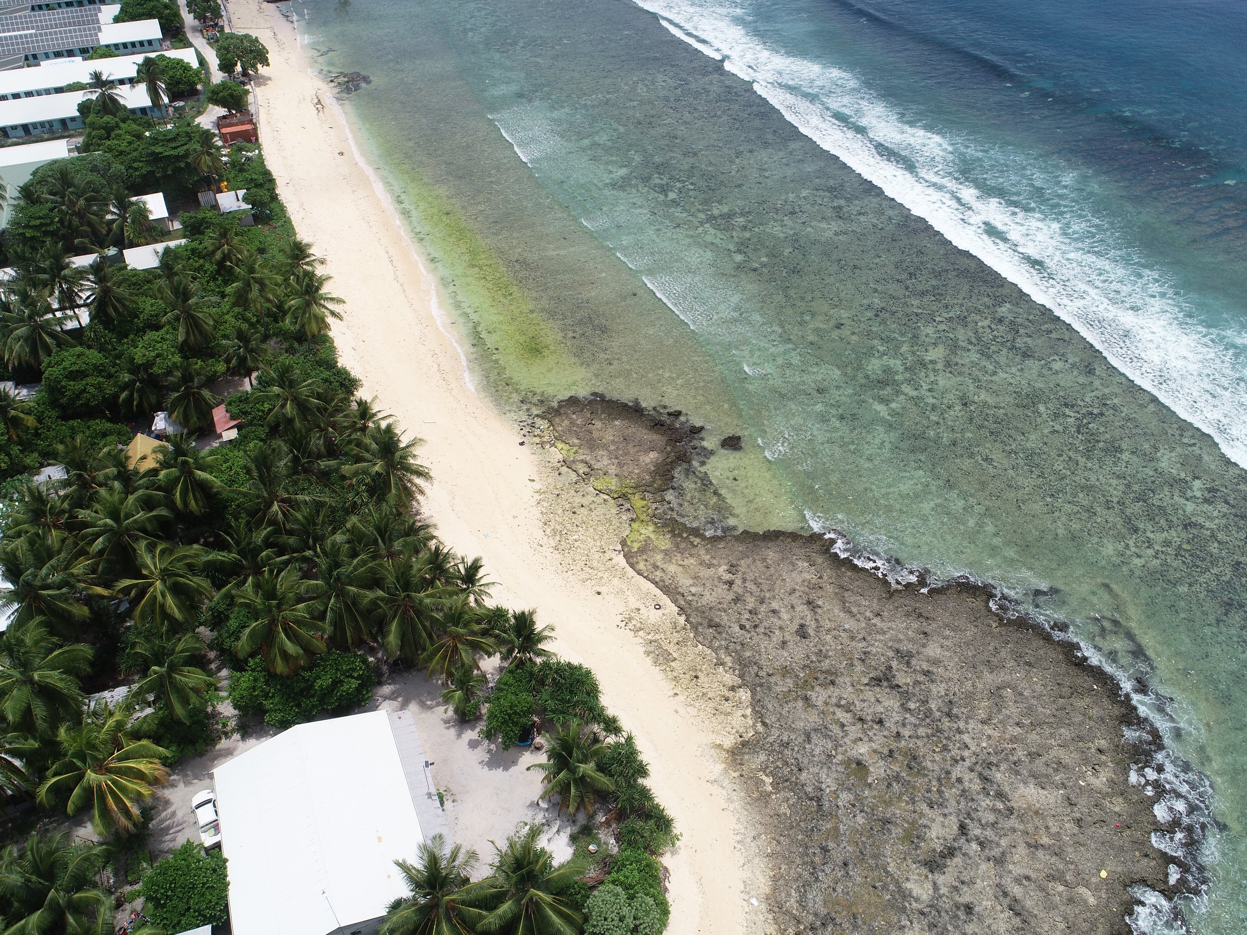
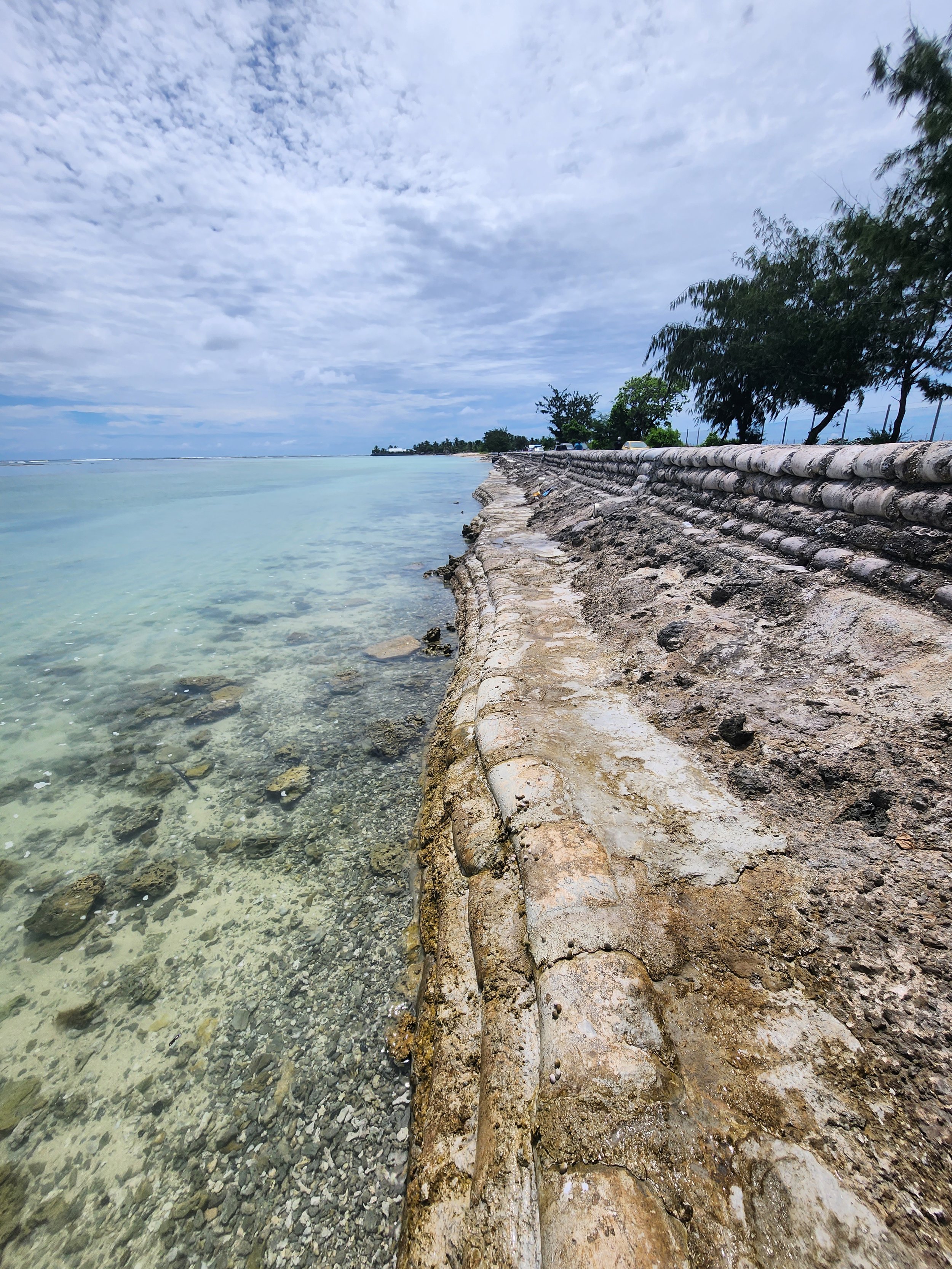
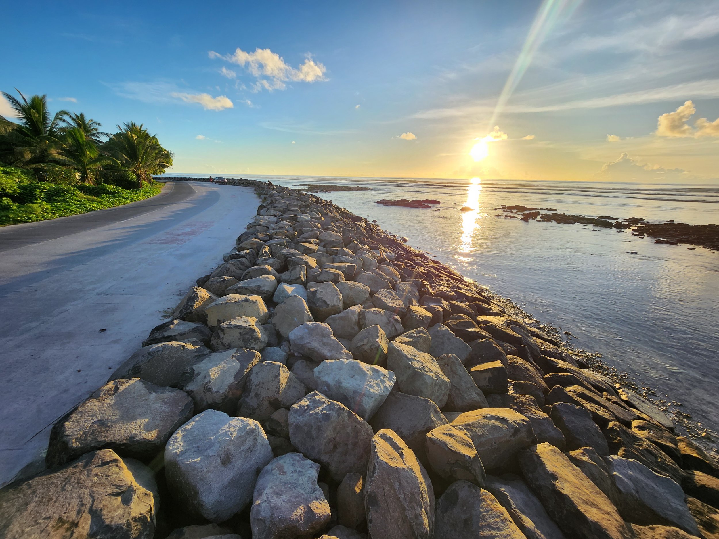
Evan embraced an exciting journey to South Tarawa, delving deep into the heart of Kiribati to conduct an evaluation of three vulnerable sites requiring coastal protection. Utilising their knowledge of atoll environments along with their coastal engineering skills, Evan and James crafted coastal protection options to improve the resilience of Kiribati and safeguard against the extremes of nature.

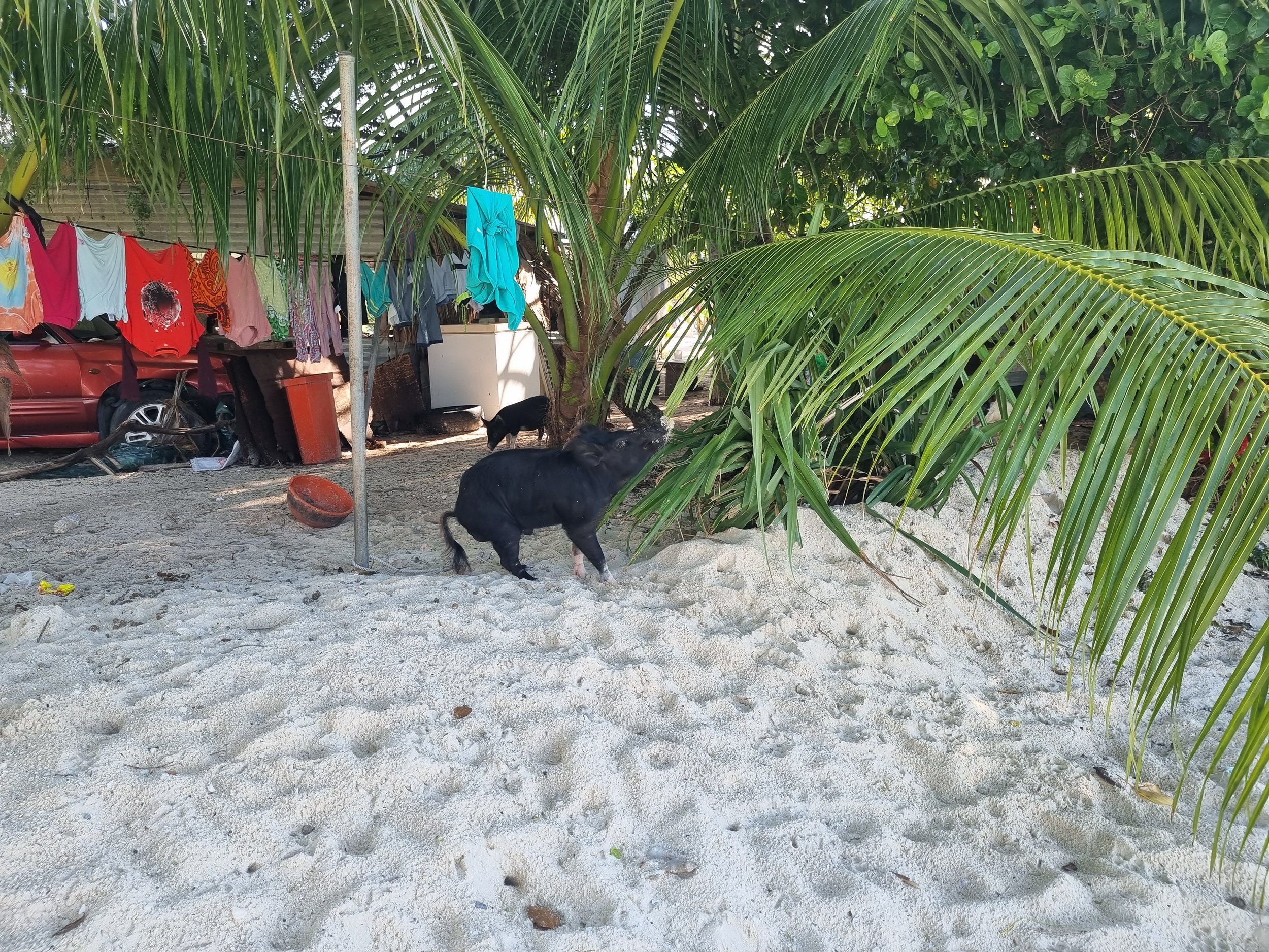
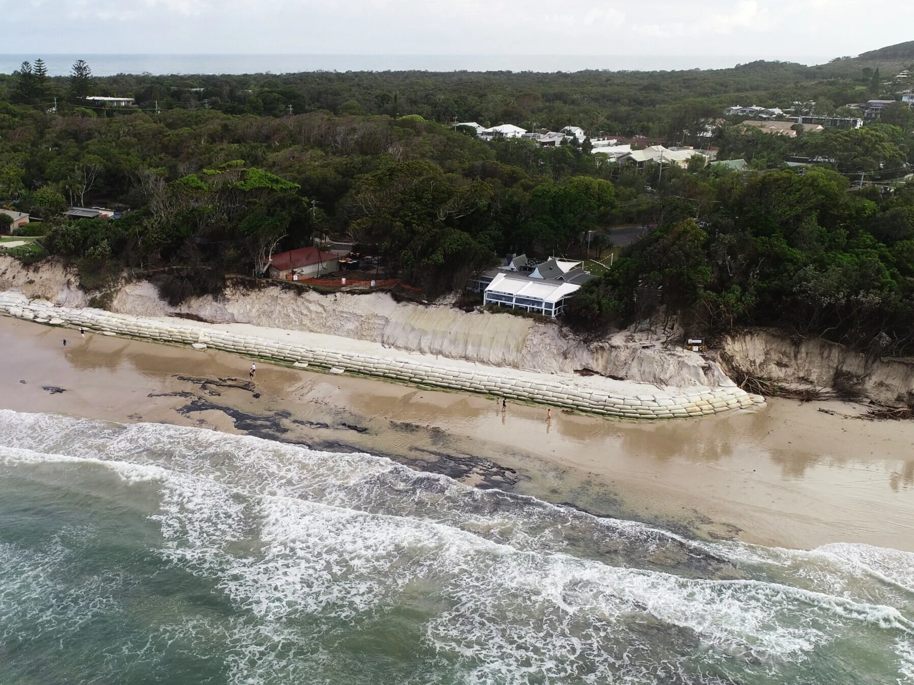
Check out the below shot of Evan and our future engineers!

For more information on the initiative check out: https://www.dfat.gov.au/about-us/publications/kiribati-australias-commitment-to-strengthening-climate-and-disaster-resilience-in-the-pacific

2023 National Coast to Coast and NSW Coastal Conference

The joint 2023 National Coast to Coast and NSW Coastal Conference kicks off TOMORROW right here in Newcastle! Dive into some insightful sessions with the Bluecoast team this Tuesday:

  • Session 3A - the ultimate Stockton session:

🌊 1.50pm "Evaluating Coastal Management Schemes for Stockton: Balancing Stakeholder Interests and Sustainable Solutions" Heiko Loehr

🌊 2.40pm "Stockton Beach Nourishment: From preferred solution to implementation" Evan Watterson

  • 🖼️ Don't miss Thomas Fallon's poster presentation at 12:38 PM (poster 5) to get the lowdown on using satellites and field data to study headland bypassing effects at Byron Bay 🤓🌏

Full conference program available here

Breaking News - Sand set for Stockton as dredging contract awarded!

🌟 Major milestone alert! 🌟
 
The team at Bluecoast is buzzing with excitement following this announcement about the sand nourishment for Stockton! Great work Lord Mayor, Minister Catley, and Minister Moriarty!
 
Stockton is a great place, home to a community passionate about their beach. We’re honored to have been part of this journey since undertaking the Stockton Bight Sand Movement Study in 2020.
 
🌊 Our contribution:
Our journey didn't end with the study. We stood shoulder to shoulder with the City of Newcastle, contributing to their Coastal Management Programs and supporting their efforts to restore sand to Stockton Beach. Our recent work for the NSW's Public Works in designing this nourishment exercise marks another chapter. Hand in hand with H2O Consulting Group and Astute Surveying Pty Ltd, the Bluecoast team has been out in the tides conducting essential baseline surveys. Every grain of data collected is a stepping stone towards alleviating Stockton's erosion challenges.
 
🚀 Onwards and upwards: 
Today we celebrate not just Rohde Nielsen joining the effort, but the onset of the next phase of the journey to restore the Stockton Beach to its former glory. If we can achieve that, it will be a testament to a community's unwavering spirit.

Adelaide Beach Management Review

Bluecoast Consulting Engineers are thrilled to have been engaged by the South Australian Government's Department of Water and Environment to conduct this important review of coastal management along the beautiful Adelaide beaches. Our engineers have already had the pleasure of visiting this breathtaking coastline and we are eager to begin the in-depth analysis. We understand the significance of this project and are committed to providing a comprehensive and valuable review.

You can find the Department of Environment and Water’s announcement here.

Insights into erosion at Byron Bay, Australia

Recent beach erosion along the famed Byron Bay stretch from Clarkes Beach to Main Beach has been in the media lately. The embayment’s shorelines were in a vulnerable state last week when weather forecasts predicted storm waves to coincide with higher-than-normal tides peaking on Monday and Tuesday this week.

Our engineers have been busy collecting data to understand both the storm erosion and why the coast was in such a vulnerable state. The time lapse video provides some insight into headland bypassing and the eroded state of the beach before the storm hit. Headland bypassing is a bit like a traffic jam for sand. In 2019 Cape Byron and a lack of southern swell caused the slowdown in the flow of sand. While sand was not moving around the Cape inside the bay it was business as usual with sand continuing up the coast on its typical northward migration. This situation, akin to a uni students bank balance with more going out than coming in, resulted in an eroding embayment shoreline with Clarkes Beach and Main Beach the most effected.

The good news is that in 2020 the traffic jam cleared and sand from the south has started flowing into the embayment. The video below shows the sand first widens Wategos Beach around February. By the end of May, a large and growing slug of sand can be seen at The Pass, providing some nice surfing waves. By December, a sand spit reaches the shore at Clarkes Beach providing a much-needed natural sand buffer just in time before the latest weather event arrived on Monday. But unfortunately, just to the west Main Beach remains vulnerable.

The results of four drone surveys conducted by our engineers throughout 2020 were compared to assess the relative erosion within the embayment. ‘Erosion hotspots’ have been identified as regions where the erosion relative to the July 2019 survey exceeds 2 metres. The sand deficit (erosion is shown in red) is clearly observed to be moving in a northward direction. Simultaneously, the sand slug previously stagnant at The Pass has accelerated and is now filling in the southern end of Clarkes Beach (shown in Blue). The acceleration is due to the more easterly waves during the recent storm. These easterly waves, more common in summer and during La Niña, are able to get into the southern hook of the bay and drive sand west towards Main Beach.

ErosionDifferenceMap2.png
Aerial photo of Clarkes Beach Café on 15 December 2020

Aerial photo of Clarkes Beach Café on 15 December 2020

Change in beach profile at Clarkes Beach

Change in beach profile at Clarkes Beach

With La Niña in full effect, this week’s early summer storm brought maximum wave heights over 10m in height from easterly direction and half a meter of storm surge on top of the high tides.

Our engineers have been out to survey the damage within the bay one day following the peak of the event and recorded the below video. The depleted areas between the Jonson Street rock walls and Clarkes Beach are in stark contrast to the sandy shores around The Pass.

Eventually the sand at the Pass will move in to replenish the beaches but with the storm behind us and the bulk of a La Niña and the 2020/21 storm season ahead of us, Byron Bay’s beaches remain in a highly vulnerable state.

Nearby at the Jonson Street rock structure, the extremely low levels have unearthed local history. Some neatly arranged timber piles are sticking above the sand (see pic). These 100-year old piles (in immaculate condition!!) are all that remains of a platform that was built between Jonson Street and Fletcher Street in 1919 (see below photographs).

Speaking of history does anyone out there know anything about this photo?

Artificial Reefs - Update

It is been one year since the construction of the Palm Beach artificial reef was completed. After years of hard work that went into the design and during construction, our team is delighted to see the various user groups, residents as well as the City of Gold Coast happy with this unique structure. While not a ‘one size fits all’ solution, we might see the next one constructed at Middleton Beach, Albany, WA after Bluecoast and the wider study team just completed the detailed design for an artificial surfing reef in the Great Southern.

Check out more about artificial reefs here: www.bluecoastconsulting.com.au/artificialreefs

Keeping a close eye (or camera) on Palm Beach’s multi purpose artificial reef

Our team are feeling very proud about this one! Watch this space for some truly innovative post-construction monitoring of surf amenity that we are working on with the City of Gold Coast, Swellnet and the University of Queensland.

Below shot was taken as the east coast low swell made its way to the artificial reef last Thursday. Captured by Swellnet's newest camera focused squarely on the latest of the Gold Coast's man-made surfing spots.

Helping the City of Newcastle with coastal management at Stockton Beach

We have been busy assessing the causes of beach erosion and planning for the future of Stockton Beach. Our work involved investigating the sand movement observed over the past 200 years, recent storm erosion and future erosion risk under a changing climate.

Working with Royal HaskoningDHV, Rhelm and Salients, Bluecoast is pleased to have helped identify a community driven and economically viable solution to restore and maintain this much loved beach.

The draft Stockton Coastal Management Program, one of the first of its kind, was completed in record time and is due to be sent to the state government by the end of this month. Once certified, further work is required to deliver the solution.

More information is available on the City of Newcastle’s website (click), a recent ABC News article (click) and in Newcastle Herald (page 12, click).