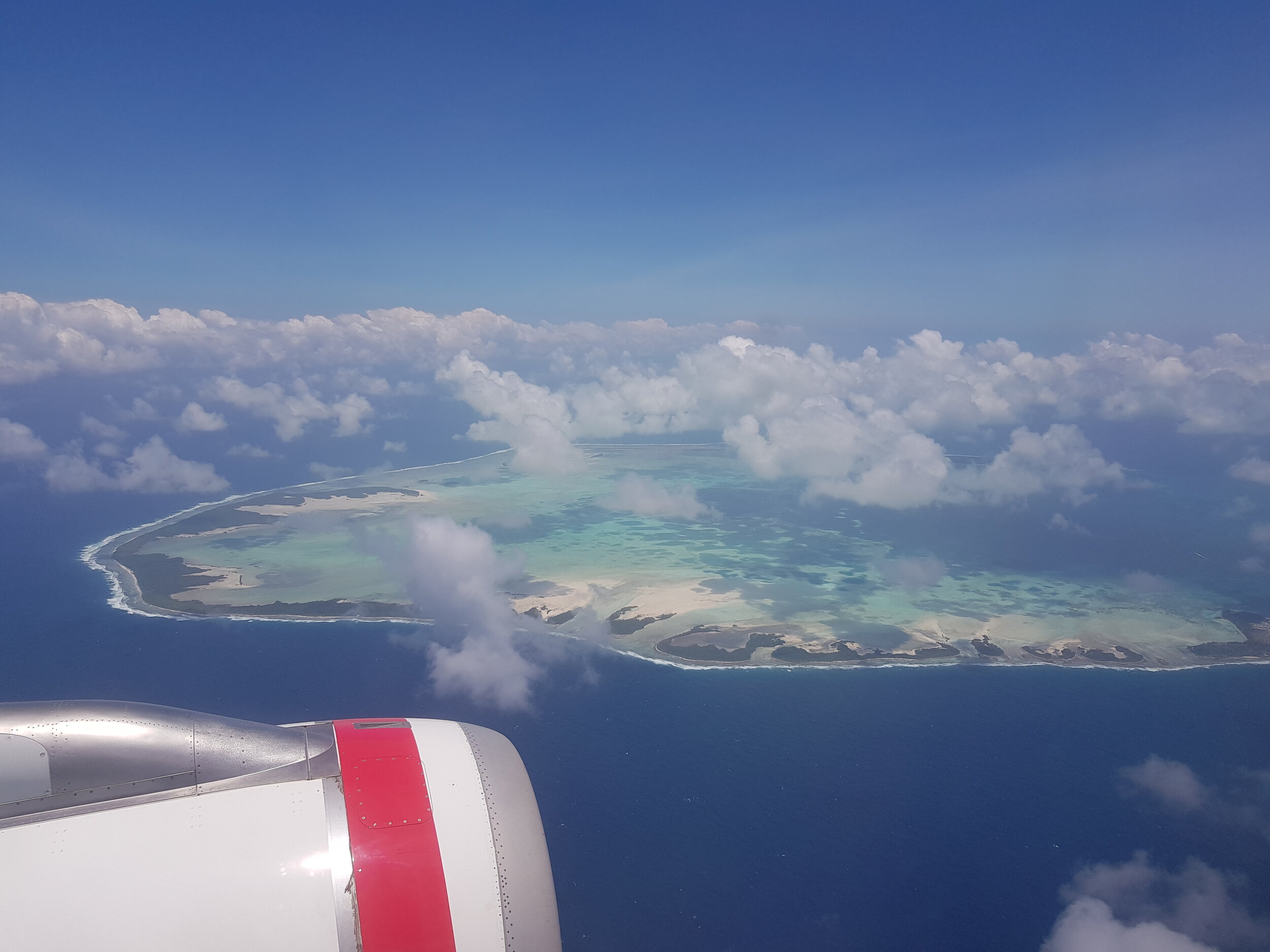
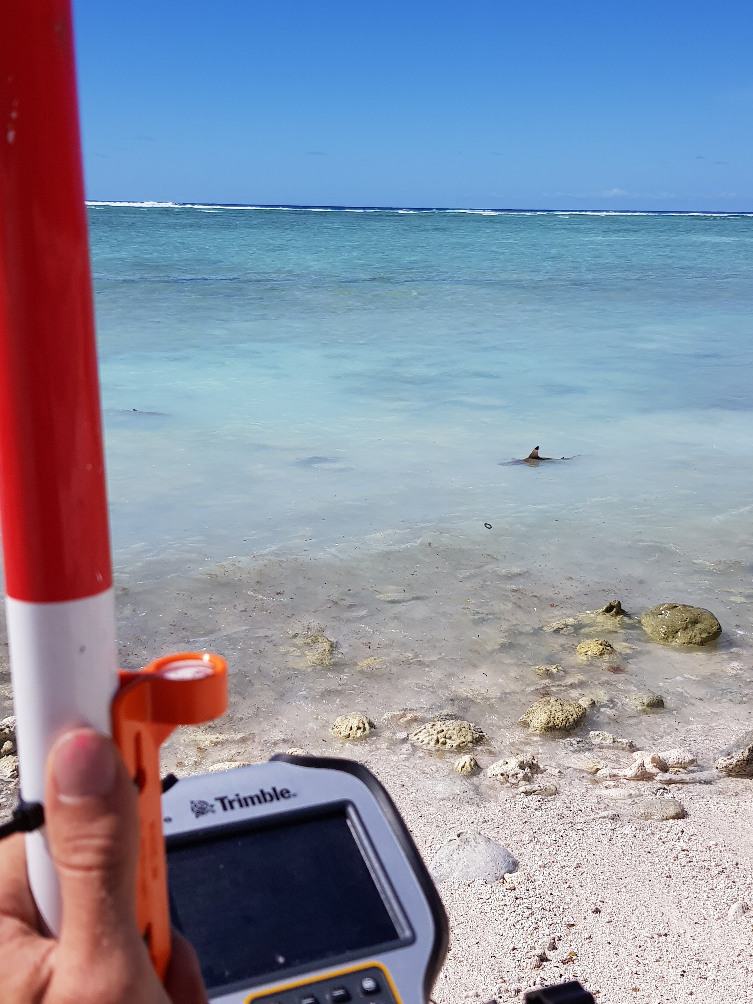
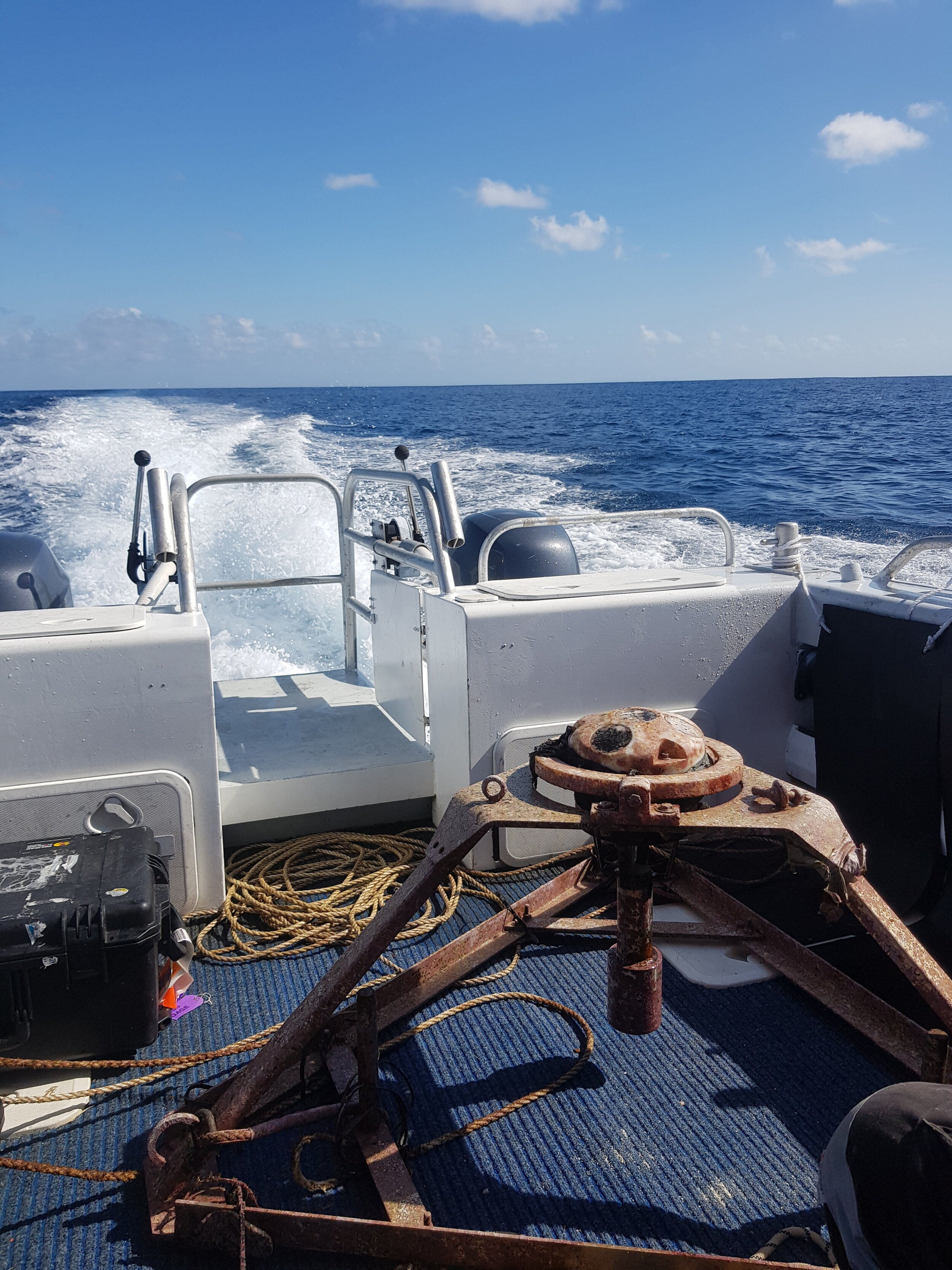
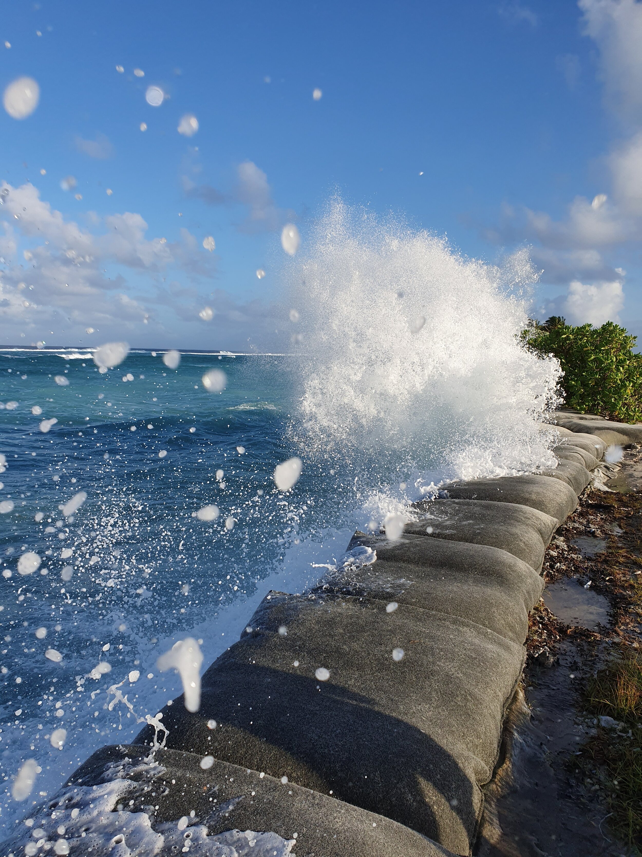
The Bluecoast team have recently returned from our fourth visit to the Cocos (Keeling) Islands. The trip marks the completion of a 12-month monitoring campaign at this remote Indian Ocean atoll. This included wave, sea level and current measurements using Nortek AWAC and Signature 1000 instruments as well as shallow reef-top wave and sea level measurements using high frequency pressure sensors (RBR). Repeat RTK-GPS beach transect surveys and topographic drone surveys were also undertaken. Our staff are looking forward to analysing the data to unlock a better understanding of the processes shaping these unique islands. The measurements will underpin the Cocos (Keeling) Islands Coastal Vulnerability Assessment – which aims to provide sound coastal management and planning advice towards the sustainable development of the islands.
The Cocos (Keeling) Islands Coastal Vulnerability Assessment is undertaken on behalf of the West Australian Department of Planning, Lands and Heritage in partnership with Royal HaskoningDHV and local contractors. The project is fully funded by the Australian Government through the Department of Infrastructure, Transport, Cities and Regional Development’s Territories Division.