Bluecoast anniversary at Australasian Coasts and Ports Conference 2019 in Hobart

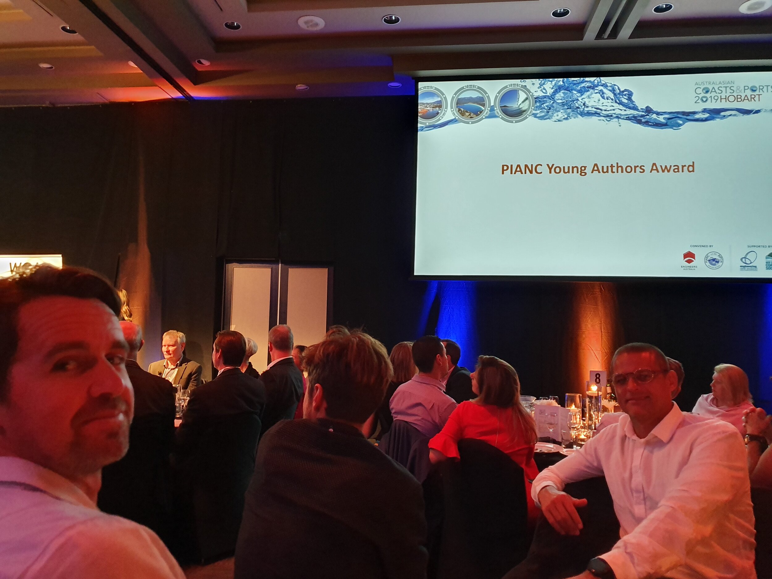
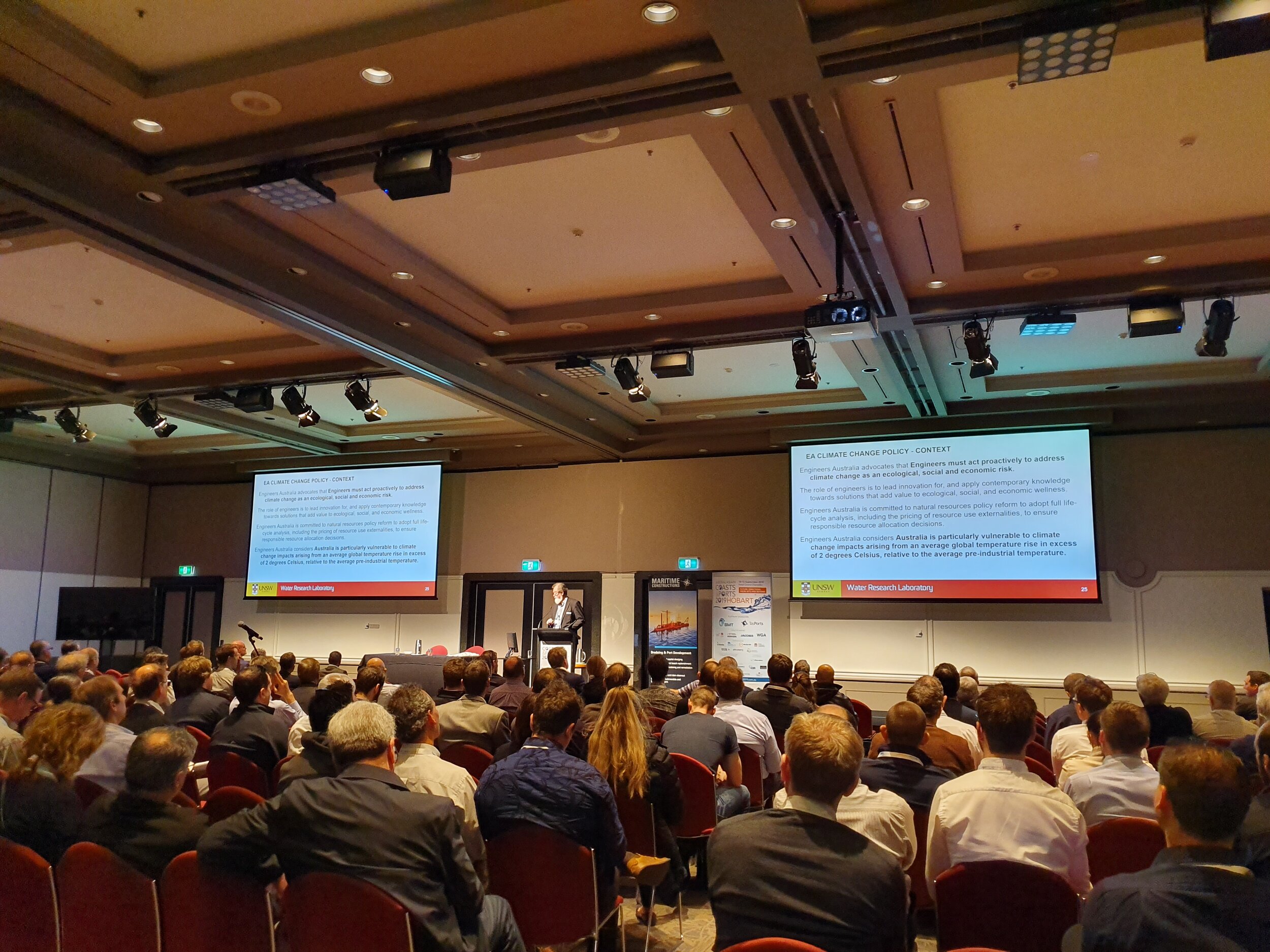
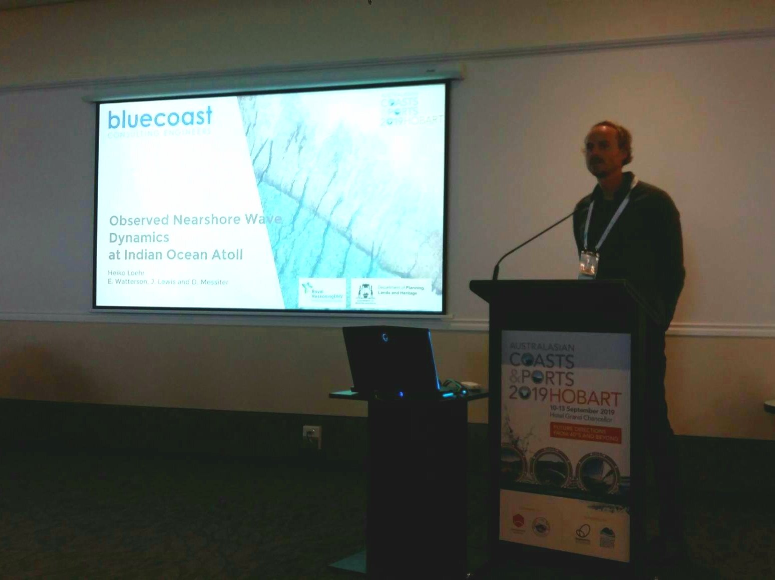
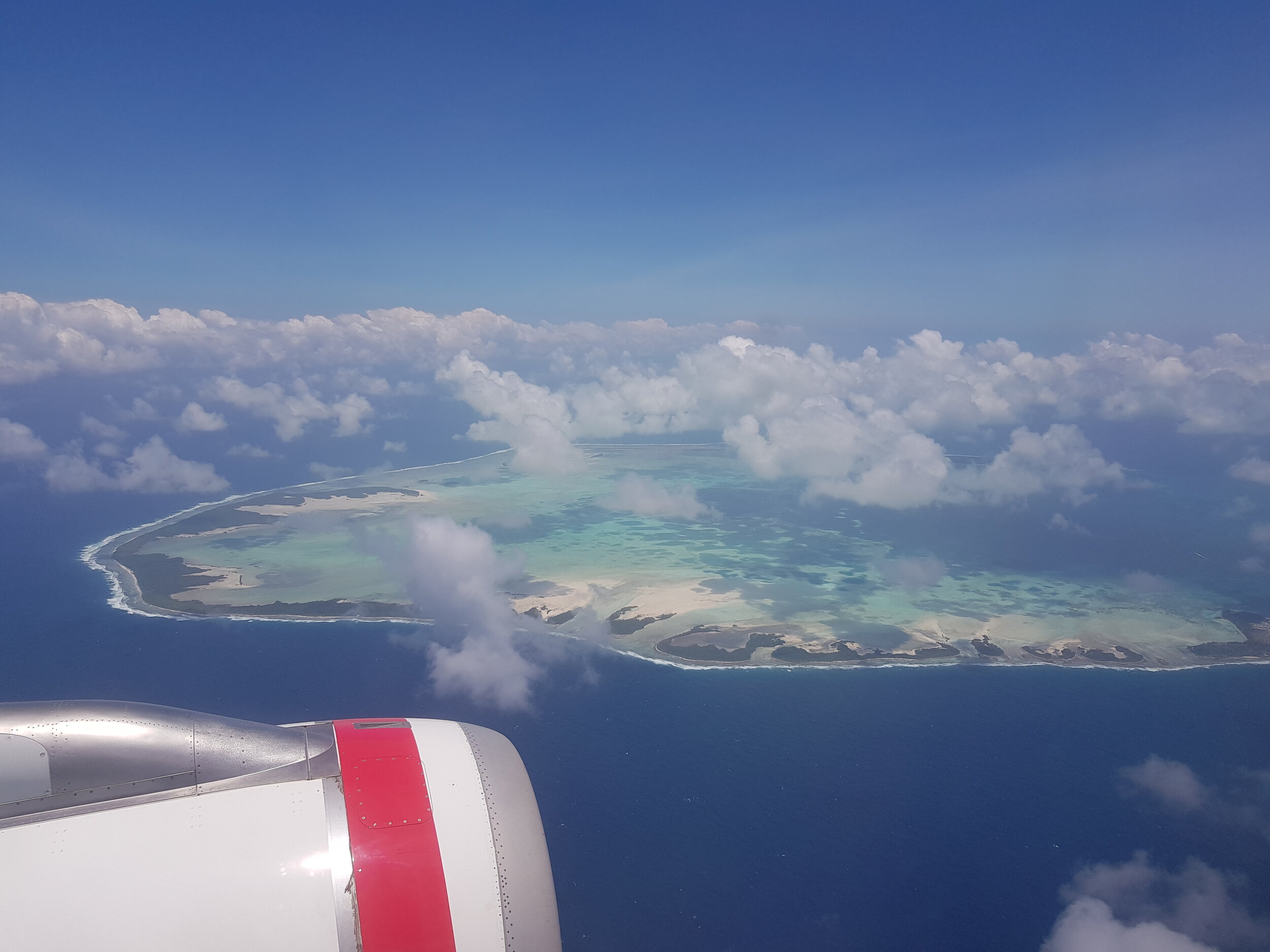
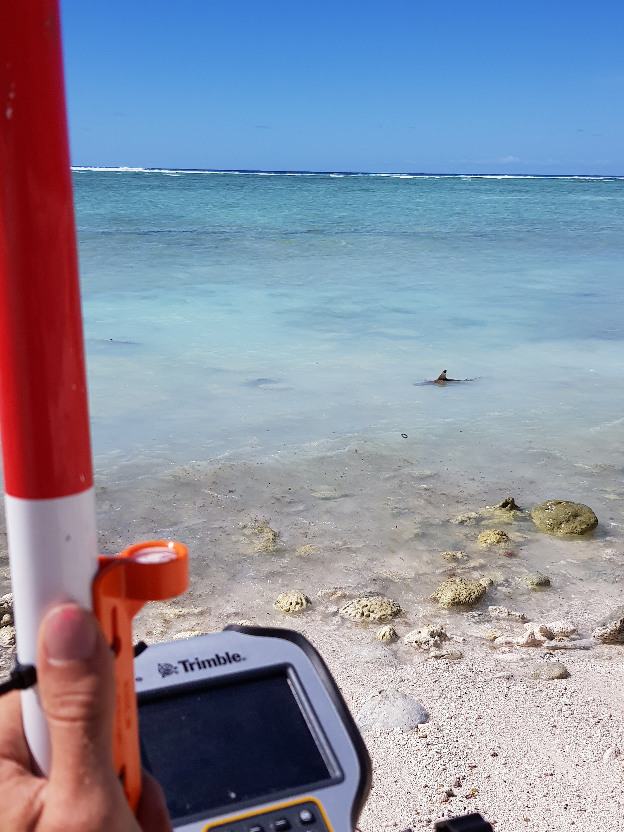
Our three directors Evan, James and Heiko presented some of their work in the Cocos (Keeling) Islands and Tonga at this year’s Coasts and Ports conference in Hobart, Tasmania. We would like to thank the organising committee and fellow coastal engineers/ planners for a successful week with some interesting presentations and discussions around the theme ‘Future directions from 40°S and beyond’. You can find our abstracts via this link.

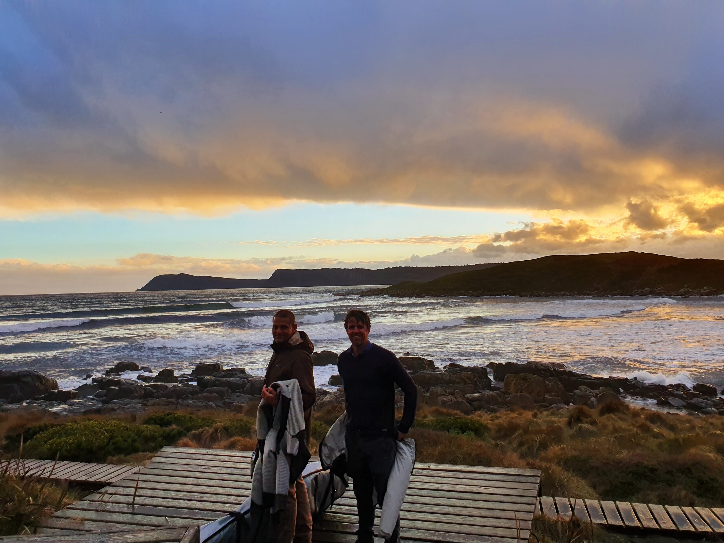
We also used the opportunity to explore some of Australia’s southern coastlines to celebrate Bluecoast’s first anniversary on Bruny Island. We were welcomed with some cold water waves and empty lineups. Our team is looking forward to reunite with everyone at next year’s 37th International Conference on Coastal Engineering 2020 in Sydney.

Coastal and oceanographic monitoring at Cocos (Keeling) Islands

The Bluecoast team have recently returned from our fourth visit to the Cocos (Keeling) Islands. The trip marks the completion of a 12-month monitoring campaign at this remote Indian Ocean atoll. This included wave, sea level and current measurements using Nortek AWAC and Signature 1000 instruments as well as shallow reef-top wave and sea level measurements using high frequency pressure sensors (RBR). Repeat RTK-GPS beach transect surveys and topographic drone surveys were also undertaken. Our staff are looking forward to analysing the data to unlock a better understanding of the processes shaping these unique islands. The measurements will underpin the Cocos (Keeling) Islands Coastal Vulnerability Assessment – which aims to provide sound coastal management and planning advice towards the sustainable development of the islands.

The Cocos (Keeling) Islands Coastal Vulnerability Assessment is undertaken on behalf of the West Australian Department of Planning, Lands and Heritage in partnership with Royal HaskoningDHV and local contractors. The project is fully funded by the Australian Government through the Department of Infrastructure, Transport, Cities and Regional Development’s Territories Division.

Fiji outer islands jetty investigations

The Bluecoast team have just returned from Fiji where they undertook site investigations for the design and upgrade of the jetties on three outer islands: Koro, Makogai and Kadavu. These jetties facilitate the shipping services which bring essential goods and supplies to the people who live in these remote villages. The team undertook detailed environmental investigations, including bathymetric and topographic drone surveys, condition assessments of the existing infrastructure as well as stakeholder engagement to understand the vital role these sea gateways provide to the community. The work was undertaken with our partner ITS Pacific (Fiji) and Royal HaskoningDHV. The team will be back in early October to undertake similar investigations on another five islands.

Cocos (Keeling) Islands - Coastal Vulnerability Assessment

Bluecoast is working with the WA Government to identify coastal hazard risks and vulnerability of built and natural assets, in order to properly plan for adaptive land use and development on the Cocos (Keeling) Islands in light of a changing coastal environment.

During 2018 - 2019, the team is collecting metocean data which will be used to identify the coastal hazards including coastal erosion and inundation for the Cocos (Keeling) Islands. Numerical modelling and data analysis will be used to undertake a detailed coastal hazards assessment both at present and future predicted sea levels. The built and natural assets that are at risk will be identified and their cultural, social, environmental and economic values quantified.

Albany coastal monitoring

The Bluecoast team is undertaking drone surveying of Middleton Beach, Emu Point and Oyster Harbour in Albany, WA. Three dimensional models of the coastal areas were derived from the drone imagery and visualised in Bluecoast’s interactive data portal.

Click here to access the 3D model

The team will use the data as well as historic coastal surveys to assess seasonal changes in beach width, shoreline and dune positions.